
St John's topographic map
Click on the map to display elevation.
About this map
Name: St John's topographic map, elevation, terrain.
Average elevation: 285 ft
Minimum elevation: 180 ft
Maximum elevation: 502 ft
Other topographic maps
Click on a map to view its topography, its elevation and its terrain.
Lower Earlswood Lake
United Kingdom > England > Surrey > Reigate and Banstead > Redhill
Average elevation: 246 ft
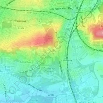
Redhill Common
United Kingdom > England > Surrey > Reigate and Banstead > Redhill
Average elevation: 302 ft