Geolocate

Rahat topographic map

Click on the map to display elevation.

About this map

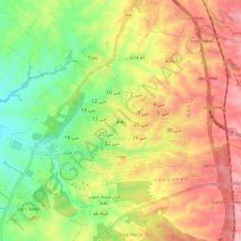
Name: Rahat topographic map, elevation, terrain.

Location: Rahat, Beersheba Subdistrict, South District, 8535700, Israel (31.35336 34.71468 31.43336 34.79468)

Average elevation: 738 ft

Minimum elevation: 512 ft

Maximum elevation: 958 ft

Gear up for your next adventure:

🪑Portable Camp Table - Compact table for campsite meals
🪶Wildlife Field Guides - Learn animal tracking and species ID
🔦LED Headlamp - Bright and durable LED headlamp for night navigation
💧Water Filtration Bottles - Safely drink from streams and lakes while exploring
🛏️Cold Weather Sleeping Bag - Warm sleeping bag for cold conditions

As an Amazon Associate, this site earns from qualifying purchases at no extra cost to you.