
Make a donation
Gear up for your next adventure:
As an Amazon Associate, this site earns from qualifying purchases at no extra cost to you.
Ludwigshafen-Maudach topographic map
Click on the map to display elevation.
Make a donation
Gear up for your next adventure:
As an Amazon Associate, this site earns from qualifying purchases at no extra cost to you.
Ludwigshafen-Maudach
Jedes Jahr am zweiten Wochenende im Oktober findet die Maudacher Kerwe statt. Höhepunkt ist hier das große Festzelt der katholischen Jugend Maudach und der samstags stattfindende Kerweumzug der Arbeitsgemeinschaft Maudacher Vereine.
Make a donation
Gear up for your next adventure:
As an Amazon Associate, this site earns from qualifying purchases at no extra cost to you.
About this map
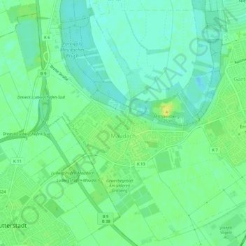
Name: Ludwigshafen-Maudach topographic map, elevation, terrain.
Average elevation: 315 ft
Minimum elevation: 285 ft
Maximum elevation: 351 ft
Make a donation
Gear up for your next adventure:
As an Amazon Associate, this site earns from qualifying purchases at no extra cost to you.
Other topographic maps
Click on a map to view its topography, its elevation and its terrain.