Kiryowa topographic map
Interactive map
Click on the map to display elevation.
About this map
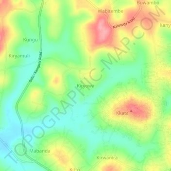
Name: Kiryowa topographic map, elevation, terrain.
Location: Kiryowa, Wakiso, Central Region, Uganda (0.46333 32.51333 0.50333 32.55333)
Average elevation: 3,898 ft
Minimum elevation: 3,747 ft
Maximum elevation: 4,098 ft
Other topographic maps
Click on a map to view its topography, its elevation and its terrain.
Nsekwa Musisi
Nsekwa Musisi, Wakiso, Central Region, Uganda
Average elevation: 3,878 ft
Kireku Railway
Kireku Railway, Wakiso, Central Region, Uganda
Average elevation: 3,809 ft
Lyamutundwe
Uganda > Wakiso > Lyamutundwe
Lyamutundwe, Wakiso, Central Region, P.O. BOX 182 - ENTEBBE, Uganda
Average elevation: 3,789 ft