
豆叩镇 topographic map
Interactive map
Click on the map to display elevation.
About this map
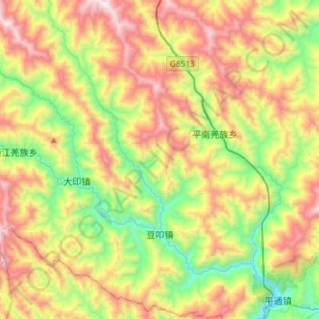
Name: 豆叩镇 topographic map, elevation, terrain.
Location: 豆叩镇, 平武县, 绵阳市, 四川省, 中国 (32.04788 104.50823 32.27193 104.64706)
Average elevation: 4,416 ft
Minimum elevation: 2,238 ft
Maximum elevation: 7,428 ft
Other topographic maps
Click on a map to view its topography, its elevation and its terrain.