
Center Grove topographic map
Click on the map to display elevation.
About this map
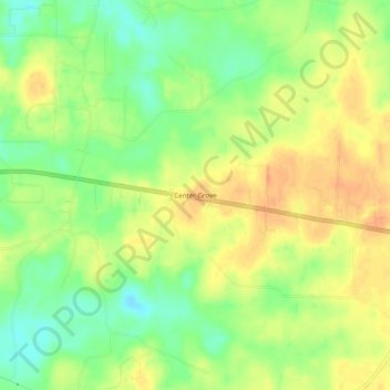
Name: Center Grove topographic map, elevation, terrain.
Location: Center Grove, Grant County, Arkansas, United States (34.29815 -92.31237 34.33815 -92.27237)
Average elevation: 292 ft
Minimum elevation: 220 ft
Maximum elevation: 351 ft
Grant County trails, hiking, mountain biking, running and outdoor activities
Other topographic maps
Click on a map to view its topography, its elevation and its terrain.