
Cisery topographic map
Interactive map
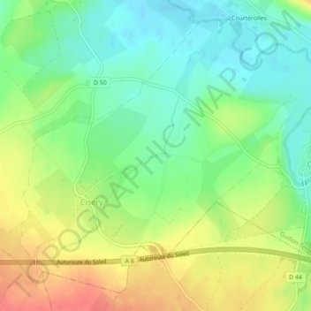
Click on the map to display elevation.
About this map
Name: Cisery topographic map, elevation, terrain.
Average elevation: 758 ft
Minimum elevation: 673 ft
Maximum elevation: 869 ft
Other topographic maps
Click on a map to view its topography, its elevation and its terrain.
Serein
France > Bourgogne-Franche-Comté > Yonne > Guillon-Terre-Plaine > Courterolles
Average elevation: 758 ft
Serein
France > Bourgogne-Franche-Comté > Yonne > Guillon-Terre-Plaine > Courterolles
Average elevation: 758 ft