Geolocate

Akutan topographic map

Click on the map to display elevation.

About this map
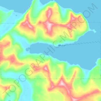
Name: Akutan topographic map, elevation, terrain.

Location: Akutan, Aleutians East Borough, Alaska, 99553, United States (54.10547 -165.86577 54.15283 -165.72146)

Average elevation: 499 ft

Minimum elevation: -98 ft

Maximum elevation: 1,850 ft

Aleutians East Borough trails, hiking, mountain biking, running and outdoor activities

Gear up for your next adventure:

🪶Paracord Bracelet - Survival bracelet with built‑in tools
🗃️Trail First Aid Kit - Essential kit for outdoor injuries and emergencies
🧭Compass with Lanyard - Easy‑carry compass for navigation
🧷Carabiner Set - Durable clips for gear attachment
🪶Multi‑Purpose Knife - Useful blade for camp and trail

As an Amazon Associate, this site earns from qualifying purchases at no extra cost to you.