
罗官 topographic map
Interactive map
Click on the map to display elevation.
About this map
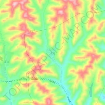
Name: 罗官 topographic map, elevation, terrain.
Location: 罗官, 盐场路街道, 城关区, 兰州市, 甘肃省, 中国 (36.15454 103.76060 36.19454 103.80060)
Average elevation: 5,974 ft
Minimum elevation: 5,604 ft
Maximum elevation: 6,388 ft
Other topographic maps
Click on a map to view its topography, its elevation and its terrain.