Geolocate

Mala Vida topographic map

Click on the map to display elevation.

About this map

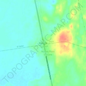
Name: Mala Vida topographic map, elevation, terrain.

Location: Mala Vida, El Tallán, Piura, Perú (-5.50011 -80.62165 -5.46011 -80.58165)

Average elevation: 69 ft

Minimum elevation: 23 ft

Maximum elevation: 177 ft

Gear up for your next adventure:

🥇GPS Hiking Watch - Multi‑sport GPS watch with navigation and trail tracking
GPS Sports Watch - GPS watch for running, hiking and training
Backpacking Tents - Weight-optimized shelters for multi-day topographic surveys
📷Action Camera - Capture your outdoor adventures in HD
🌧️Backpack Rain Cover - Keep gear dry in wet weather

As an Amazon Associate, this site earns from qualifying purchases at no extra cost to you.