
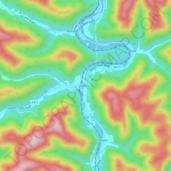
Jeffrey topographic map
Click on the map to display elevation.
About this map
Name: Jeffrey topographic map, elevation, terrain.
Location: Jeffrey, Boone County, West Virginia, 25114, United States (37.95149 -81.84151 37.99149 -81.80151)
Average elevation: 1,194 ft
Minimum elevation: 741 ft
Maximum elevation: 1,837 ft
Boone County trails, hiking, mountain biking, running and outdoor activities
Other topographic maps
Click on a map to view its topography, its elevation and its terrain.