Geolocate

Pangkalan topographic map

Click on the map to display elevation.

About this map

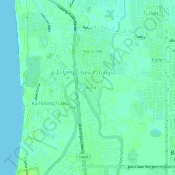
Name: Pangkalan topographic map, elevation, terrain.

Location: Pangkalan, Miri, Miri Division, Sarawak, 98100, Malaysia (4.44705 113.99413 4.48705 114.03413)

Average elevation: 13 ft

Minimum elevation: 0 ft

Maximum elevation: 30 ft

Gear up for your next adventure:

🧭Compass with Lanyard - Easy‑carry compass for navigation
👓Polarized Sunglasses - Outdoor sunglasses for glare reduction
🧥Waterproof Jacket for Hiking - Breathable and rugged rain jacket for outdoor excursions
🚪Portable Camp Chair - Foldable chair for comfort at camp
🪶Wildlife Field Guides - Learn animal tracking and species ID

As an Amazon Associate, this site earns from qualifying purchases at no extra cost to you.