
Alpha topographic map
Click on the map to display elevation.
About this map
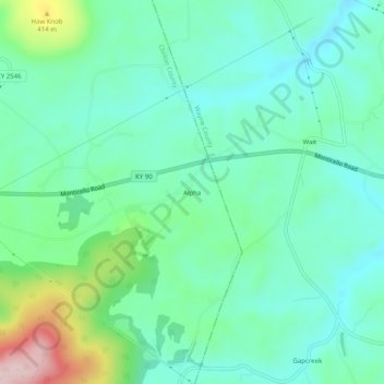
Name: Alpha topographic map, elevation, terrain.
Location: Alpha, Clinton County, Kentucky, 42603, United States (36.74229 -85.03023 36.78229 -84.99023)
Average elevation: 1,024 ft
Minimum elevation: 804 ft
Maximum elevation: 1,690 ft
Clinton County trails, hiking, mountain biking, running and outdoor activities