Geolocate

Sankoo topographic map

Click on the map to display elevation.

About this map

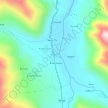
Name: Sankoo topographic map, elevation, terrain.

Location: Sankoo, Sankoo tehsil, Kargil district, Ladakh, India (34.26968 75.94222 34.30968 75.98222)

Average elevation: 10,331 ft

Minimum elevation: 9,619 ft

Maximum elevation: 12,464 ft

Gear up for your next adventure:

📱Heavy-Duty Phone Cases - Drop-proof and waterproof protection for outdoor navigation
🛏️Cold Weather Sleeping Bag - Warm sleeping bag for cold conditions
📡GPS Antenna Upgrade - Enhance GPS reception in remote terrain
🧦Hiking Socks - Comfortable socks to prevent blisters on long hikes
🥩Freeze-Dried Meals - Nutritious and lightweight food for remote expeditions

As an Amazon Associate, this site earns from qualifying purchases at no extra cost to you.