
花果山 topographic map
Interactive map
Click on the map to display elevation.
About this map
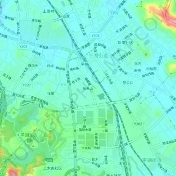
Name: 花果山 topographic map, elevation, terrain.
Location: 花果山, 平湖街道, 龙岗区, 深圳市, 广东省, 518100, 中国 (22.66827 114.10041 22.70827 114.14041)
Average elevation: 223 ft
Minimum elevation: 138 ft
Maximum elevation: 571 ft
Other topographic maps
Click on a map to view its topography, its elevation and its terrain.