
龙溪河 topographic map
Interactive map
Click on the map to display elevation.
About this map
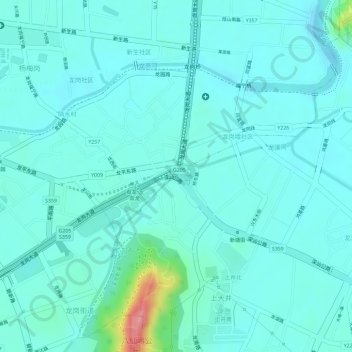
Name: 龙溪河 topographic map, elevation, terrain.
Location: 龙溪河, 龙岗区, 深圳市, 广东省, 518100, 中国 (22.73202 114.27507 22.73339 114.27806)
Average elevation: 125 ft
Minimum elevation: 62 ft
Maximum elevation: 423 ft
Other topographic maps
Click on a map to view its topography, its elevation and its terrain.