
Daigle topographic map
Click on the map to display elevation.
About this map
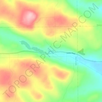
Name: Daigle topographic map, elevation, terrain.
Location: Daigle, New Canada, Aroostook County, Maine, United States (47.16948 -68.48088 47.20948 -68.44088)
Average elevation: 925 ft
Minimum elevation: 633 ft
Maximum elevation: 1,237 ft
Aroostook County trails, hiking, mountain biking, running and outdoor activities