Geolocate

Boston topographic map

Click on the map to display elevation.

About this map

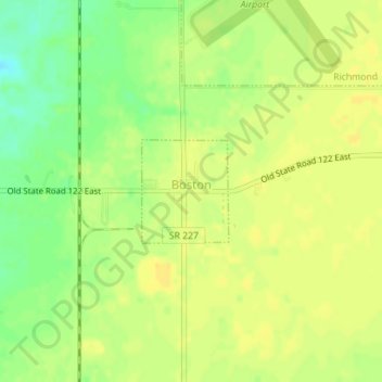
Name: Boston topographic map, elevation, terrain.

Location: Boston, Wayne County, Indiana, 47324, United States (39.73746 -84.85576 39.74478 -84.84777)

Average elevation: 1,129 ft

Minimum elevation: 1,076 ft

Maximum elevation: 1,152 ft

Wayne County trails, hiking, mountain biking, running and outdoor activities

Other topographic maps

Click on a map to view its topography, its elevation and its terrain.

East Germantown

United States > Indiana > Wayne County > Pershing

Average elevation: 955 ft

Gear up for your next adventure:

🪶Wildlife Field Guides - Learn animal tracking and species ID
🎒Outdoor Daypacks - Lightweight backpacks designed for carrying maps and essential gear
🔭Telescopic Hiking Pole - Adjustable pole for hiking stability
🧢Sun Protection Hats - Wide-brimmed and UPF-rated hats for high-altitude sun safety
🪶Survival Guide Book - Expert advice for emergency preparedness

As an Amazon Associate, this site earns from qualifying purchases at no extra cost to you.