
Bellefont topographic map
Click on the map to display elevation.
About this map
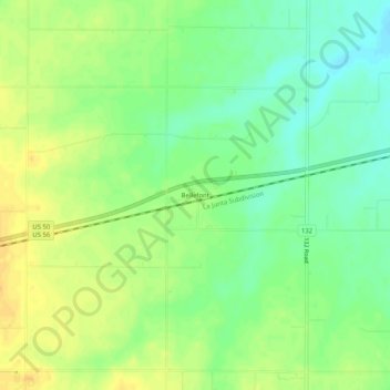
Name: Bellefont topographic map, elevation, terrain.
Location: Bellefont, Ford County, Kansas, United States (37.85298 -99.67804 37.89298 -99.63804)
Average elevation: 2,362 ft
Minimum elevation: 2,313 ft
Maximum elevation: 2,408 ft
Ford County trails, hiking, mountain biking, running and outdoor activities