Geolocate

Luhrig topographic map

Click on the map to display elevation.

👉 Easily get elevation data in JSON, GeoTIFF and KML formats using Elevation API
Thank you for supporting this site ❤️
Make a donation

About this map

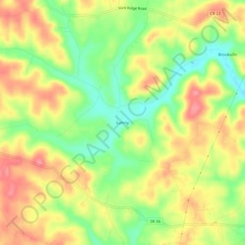
Name: Luhrig topographic map, elevation, terrain.

Location: Luhrig, Athens, Athens County, Ohio, United States (39.31341 -82.20320 39.35341 -82.16320)

Average elevation: 794 ft

Minimum elevation: 646 ft

Maximum elevation: 925 ft

Athens County trails, hiking, mountain biking, running and outdoor activities

Other topographic maps

Click on a map to view its topography, its elevation and its terrain.

Pratts Fork

United States > Ohio > Athens County > Athens

Average elevation: 833 ft

Gear up for your next adventure:

🔊Portable Camp Speaker - Music and alerts at camp
💧Water Purification System - Clean water on the trail with reliable purifiers
🧣Merino Neck Gaiters - Multi-functional headwear for wind and sun protection
🔭Compact Binoculars - HD vision for scouting terrain and identifying distant landmarks
🪶LED Camping Lantern - Bright lantern for camp lighting

As an Amazon Associate, this site earns from qualifying purchases at no extra cost to you.