
Thank you for supporting this site ❤️
Make a donation
Make a donation
Gear up for your next adventure:
As an Amazon Associate, this site earns from qualifying purchases at no extra cost to you.
Chang topographic map
Click on the map to display elevation.
Thank you for supporting this site ❤️
Make a donation
Make a donation
Gear up for your next adventure:
As an Amazon Associate, this site earns from qualifying purchases at no extra cost to you.
About this map
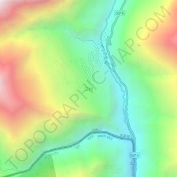
Name: Chang topographic map, elevation, terrain.
Location: Chang, Kyirong County, Shigatse Prefecture, Tibet, China (28.29342 85.31659 28.33342 85.35659)
Average elevation: 8,612 ft
Minimum elevation: 6,165 ft
Maximum elevation: 12,480 ft
Thank you for supporting this site ❤️
Make a donation
Make a donation
Gear up for your next adventure:
As an Amazon Associate, this site earns from qualifying purchases at no extra cost to you.