Geolocate

Bulacnin topographic map

Click on the map to display elevation.

About this map

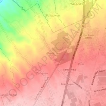
Name: Bulacnin topographic map, elevation, terrain.

Location: Bulacnin, Lipa, Batangas, Calabarzon, 4223, Philippines (13.96372 121.12300 14.00372 121.16300)

Average elevation: 1,053 ft

Minimum elevation: 636 ft

Maximum elevation: 1,217 ft

Other topographic maps

Click on a map to view its topography, its elevation and its terrain.

Duhatan

Philippines > Batangas > Lipa

Average elevation: 978 ft

Gear up for your next adventure:

🔪Outdoor Multitools - Essential survival tools for gear repair and field use
Solar GPS Watches - Advanced multisport watches with built-in topographic maps
🛠️Backpacking Tool Kit - Essential toolkit for outdoor repairs
🔥Camping Stove - Portable stove for camping and backcountry cooking
📶Satellite Messenger - Communication device off‑grid

As an Amazon Associate, this site earns from qualifying purchases at no extra cost to you.