
Arpy topographic map
Interactive map
Click on the map to display elevation.
About this map
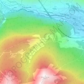
Name: Arpy topographic map, elevation, terrain.
Location: Arpy, Valle d'Aosta, 11017, Italia (45.72781 6.99140 45.76781 7.03140)
Average elevation: 5,075 ft
Minimum elevation: 3,009 ft
Maximum elevation: 8,163 ft
Other topographic maps
Click on a map to view its topography, its elevation and its terrain.