
Arpy topographic map
Interactive map
Click on the map to display elevation.
About this map
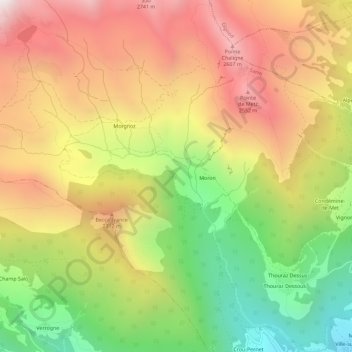
Name: Arpy topographic map, elevation, terrain.
Location: Arpy, Valle d'Aosta, Italia (45.73256 7.20948 45.77256 7.24948)
Average elevation: 6,558 ft
Minimum elevation: 3,940 ft
Maximum elevation: 9,045 ft
Other topographic maps
Click on a map to view its topography, its elevation and its terrain.