
Thank you for supporting this site ❤️
Make a donation
Make a donation
Gear up for your next adventure:
As an Amazon Associate, this site earns from qualifying purchases at no extra cost to you.
Makada A topographic map
Click on the map to display elevation.
Thank you for supporting this site ❤️
Make a donation
Make a donation
Gear up for your next adventure:
As an Amazon Associate, this site earns from qualifying purchases at no extra cost to you.
About this map
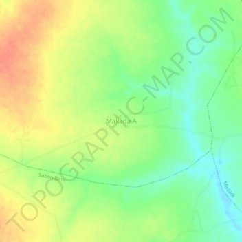
Name: Makada A topographic map, elevation, terrain.
Location: Makada A, Unguwar Tudu, Gwarzo, Kano State, Nigeria (11.87690 8.00413 11.91690 8.04413)
Average elevation: 1,778 ft
Minimum elevation: 1,703 ft
Maximum elevation: 1,857 ft
Thank you for supporting this site ❤️
Make a donation
Make a donation
Gear up for your next adventure:
As an Amazon Associate, this site earns from qualifying purchases at no extra cost to you.