Geolocate

Gradella topographic map

Click on the map to display elevation.

About this map

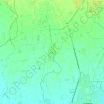
Name: Gradella topographic map, elevation, terrain.

Location: Gradella, Pandino, Cremona, Lombardia, 26025, Italia (45.40477 9.51205 45.44477 9.55205)

Average elevation: 295 ft

Minimum elevation: 272 ft

Maximum elevation: 322 ft

Gear up for your next adventure:

😴Insulated Sleeping Pads - Compact and warm pads for high-elevation camping
📖Nature Tracking Books - Learn to track wildlife and terrain
🥄Camping Utensil Set - Lightweight utensils for outdoor meals
📷Action Cameras - Rugged cameras to document your journeys across rugged terrain
🔦LED Headlamp - Bright and durable LED headlamp for night navigation

As an Amazon Associate, this site earns from qualifying purchases at no extra cost to you.