Geolocate

Devakottai topographic map

Click on the map to display elevation.

About this map

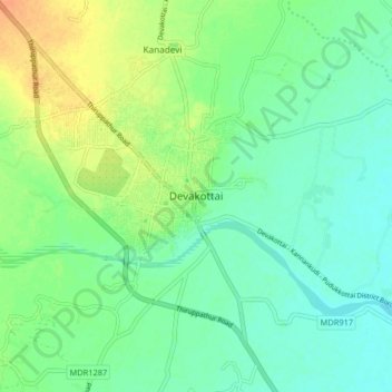
Name: Devakottai topographic map, elevation, terrain.

Location: Devakottai, Sivagangai, Tamil Nadu, 623300, India (9.90569 78.78692 9.98569 78.86692)

Average elevation: 157 ft

Minimum elevation: 118 ft

Maximum elevation: 223 ft

Gear up for your next adventure:

🪶LED Camping Lantern - Bright lantern for camp lighting
🧭Outdoor Navigation Book - Learn advanced navigation skills
🪄Magnetic Compass - Accurate compass for navigation
🎒Gear Packing Cubes - Organize your backpack efficiently
🥩Freeze-Dried Meals - Nutritious and lightweight food for remote expeditions

As an Amazon Associate, this site earns from qualifying purchases at no extra cost to you.