Geolocate

Florida topographic map

Click on the map to display elevation.

About this map

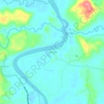
Name: Florida topographic map, elevation, terrain.

Location: Florida, Butuan, Caraga, Philippines (8.76410 125.56721 8.80410 125.60721)

Average elevation: 69 ft

Minimum elevation: 10 ft

Maximum elevation: 308 ft

Gear up for your next adventure:

🧺Microfiber Travel Towels - Compact and fast-drying towels for trail use
🧭Hiking Compass - Precision compass for reliable navigation in the wilderness
🛶Inflatable Kayak - Portable kayak for rivers, lakes, and expeditions
🔭Compact Binoculars - HD vision for scouting terrain and identifying distant landmarks
🌡️Portable Weather Meter - Track weather conditions on the trail

As an Amazon Associate, this site earns from qualifying purchases at no extra cost to you.