
Thank you for supporting this site ❤️
Make a donation
Make a donation
Gear up for your next adventure:
As an Amazon Associate, this site earns from qualifying purchases at no extra cost to you.
Chaumont topographic map
Click on the map to display elevation.
Thank you for supporting this site ❤️
Make a donation
Make a donation
Gear up for your next adventure:
As an Amazon Associate, this site earns from qualifying purchases at no extra cost to you.
About this map
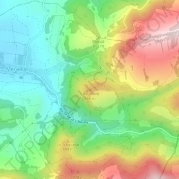
Name: Chaumont topographic map, elevation, terrain.
Location: Chaumont, Mervelier, District de Delémont, Jura, 2827, Suisse (47.34069 7.51457 47.34079 7.51467)
Average elevation: 2,474 ft
Minimum elevation: 1,798 ft
Maximum elevation: 3,481 ft
Thank you for supporting this site ❤️
Make a donation
Make a donation
Gear up for your next adventure:
As an Amazon Associate, this site earns from qualifying purchases at no extra cost to you.