
罗家咀 topographic map
Interactive map
Click on the map to display elevation.
About this map
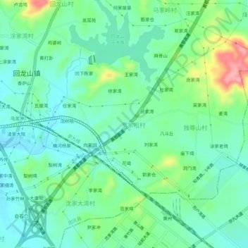
Name: 罗家咀 topographic map, elevation, terrain.
Location: 罗家咀, 团风县, 黄冈市, 湖北省, 438820, 中国 (30.58312 114.97223 30.62312 115.01223)
Average elevation: 187 ft
Minimum elevation: 75 ft
Maximum elevation: 479 ft
Other topographic maps
Click on a map to view its topography, its elevation and its terrain.