
临江铺一组 topographic map
Interactive map
Click on the map to display elevation.
About this map
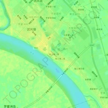
Name: 临江铺一组 topographic map, elevation, terrain.
Location: 临江铺一组, 团风县, 黄冈市, 湖北省, 438800, 中国 (30.60623 114.85399 30.64623 114.89399)
Average elevation: 66 ft
Minimum elevation: 30 ft
Maximum elevation: 92 ft
Other topographic maps
Click on a map to view its topography, its elevation and its terrain.