
来远 topographic map
Interactive map
Click on the map to display elevation.
About this map
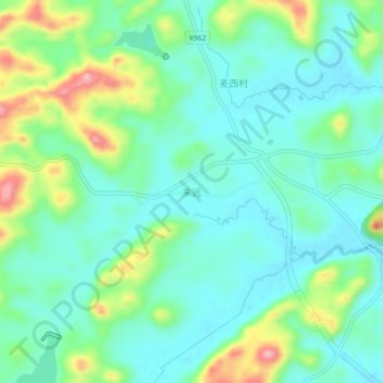
Name: 来远 topographic map, elevation, terrain.
Location: 来远, 长顺县, 黔南布依族苗族自治州, 贵州省, 558000, 中国 (26.17289 106.33111 26.21289 106.37111)
Average elevation: 4,321 ft
Minimum elevation: 4,177 ft
Maximum elevation: 4,701 ft