Geolocate

Coscomate topographic map

Click on the map to display elevation.

About this map

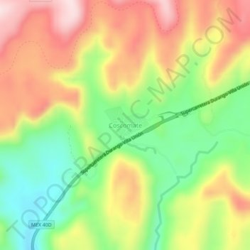
Name: Coscomate topographic map, elevation, terrain.

Location: Coscomate, Pueblo Nuevo, Durango, Mexico (23.68672 -105.59575 23.72672 -105.55575)

Average elevation: 8,294 ft

Minimum elevation: 7,690 ft

Maximum elevation: 8,937 ft

Gear up for your next adventure:

📦Gear Storage Bags - Organize and protect outdoor equipment
🗺️NatGeo Topo Maps - High-quality waterproof printed topographic maps of US Parks
🪵Folding Camp Saw - Compact saw for wood and campsite work
🎒Day Hiking Backpack - Lightweight backpack perfect for day trips and outdoor adventures
📷Action Cameras - Rugged cameras to document your journeys across rugged terrain

As an Amazon Associate, this site earns from qualifying purchases at no extra cost to you.