
Rome topographic map
Click on the map to display elevation.
About this map
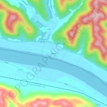
Name: Rome topographic map, elevation, terrain.
Location: Rome, Adams County, Ohio, United States (38.64396 -83.39908 38.68396 -83.35908)
Average elevation: 696 ft
Minimum elevation: 495 ft
Maximum elevation: 1,191 ft
Adams County trails, hiking, mountain biking, running and outdoor activities