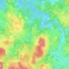
Chadron topographic map
Click on the map to display elevation.
About this map
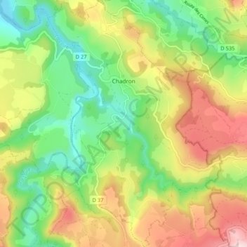
Name: Chadron topographic map, elevation, terrain.
Average elevation: 2,733 ft
Minimum elevation: 2,162 ft
Maximum elevation: 3,517 ft
Other topographic maps
Click on a map to view its topography, its elevation and its terrain.

Pont de Chazeaux
France > Auvergne-Rhône-Alpes > Haute-Loire > Monistrol-sur-Loire
Average elevation: 2,398 ft

Chambonnet
France > Auvergne-Rhône-Alpes > Haute-Loire > Saint-Préjet-d'Allier
Average elevation: 3,196 ft



Cheneville
France > Auvergne-Rhône-Alpes > Haute-Loire > Varennes-Saint-Honorat
Average elevation: 3,461 ft

Laniac
France > Auvergne-Rhône-Alpes > Haute-Loire > Siaugues-Sainte-Marie > Siaugues-Saint-Romain
Average elevation: 2,982 ft

La Celle
France > Auvergne-Rhône-Alpes > Haute-Loire > Le Chambon-sur-Lignon
Average elevation: 3,192 ft
Gashon
France > Auvergne-Rhône-Alpes > Haute-Loire > Saint-Bonnet-le-Froid
Average elevation: 3,409 ft