
Mount Morungole topographic map
Interactive map
Click on the map to display elevation.
About this map
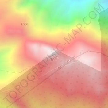
Name: Mount Morungole topographic map, elevation, terrain.
Location: Mount Morungole, Kaabong, Northern Region, Uganda (3.81446 34.03188 3.81456 34.03198)
Average elevation: 7,835 ft
Minimum elevation: 5,600 ft
Maximum elevation: 8,930 ft
Other topographic maps
Click on a map to view its topography, its elevation and its terrain.