
Lolim topographic map
Interactive map
Click on the map to display elevation.
About this map
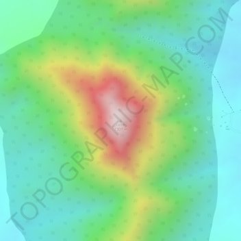
Name: Lolim topographic map, elevation, terrain.
Location: Lolim, Kaabong, Northern Region, Uganda (3.71745 34.11415 3.71755 34.11425)
Average elevation: 6,276 ft
Minimum elevation: 5,630 ft
Maximum elevation: 7,598 ft
Other topographic maps
Click on a map to view its topography, its elevation and its terrain.