Geolocate

Mambog topographic map

Click on the map to display elevation.

About this map

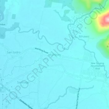
Name: Mambog topographic map, elevation, terrain.

Location: Mambog, Botolan, Zambales, Central Luzon, 2202, Philippines (15.29295 120.01063 15.33295 120.05063)

Average elevation: 69 ft

Minimum elevation: 7 ft

Maximum elevation: 738 ft

Gear up for your next adventure:

🩹Survival Bandages - High‑quality bandages for emergencies
📡Handheld GPS Device - Reliable handheld GPS for outdoor navigation
🛌Ultralight Sleeping Bags - Compact down bags for cold nights in the wilderness
🗺️NatGeo Topo Maps - High-quality waterproof printed topographic maps of US Parks
🧭Outdoor Navigation Book - Learn advanced navigation skills

As an Amazon Associate, this site earns from qualifying purchases at no extra cost to you.