
Thank you for supporting this site ❤️
Make a donation
Make a donation
Gear up for your next adventure:
As an Amazon Associate, this site earns from qualifying purchases at no extra cost to you.
Magsaysay topographic map
Click on the map to display elevation.
Thank you for supporting this site ❤️
Make a donation
Make a donation
Gear up for your next adventure:
As an Amazon Associate, this site earns from qualifying purchases at no extra cost to you.
About this map
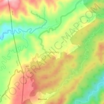
Name: Magsaysay topographic map, elevation, terrain.
Location: Magsaysay, Siniloan, Quezon, Calabarzon, Philippines (14.47927 121.50379 14.51927 121.54379)
Average elevation: 1,201 ft
Minimum elevation: 715 ft
Maximum elevation: 1,696 ft
Thank you for supporting this site ❤️
Make a donation
Make a donation
Gear up for your next adventure:
As an Amazon Associate, this site earns from qualifying purchases at no extra cost to you.