Geolocate

San Roque topographic map

Click on the map to display elevation.

About this map

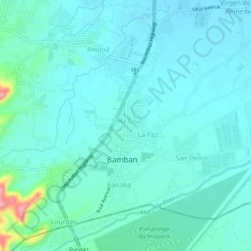
Name: San Roque topographic map, elevation, terrain.

Location: San Roque, Bamban, Tarlac, Central Luzon, 2317, Philippines (15.25874 120.54781 15.29874 120.58781)

Average elevation: 253 ft

Minimum elevation: 187 ft

Maximum elevation: 623 ft

Other topographic maps

Click on a map to view its topography, its elevation and its terrain.

Marimla River

Philippines > Tarlac > Bamban > Lourdes

Average elevation: 259 ft

Gear up for your next adventure:

🔭Telescopic Hiking Pole - Adjustable pole for hiking stability
📦Dry Bags Set - Waterproof storage for electronics and clothes
🥘Titanium Cookware - Durable, featherlight pots and pans for backpacking
🛰️Satellite Messengers - Emergency SOS and two-way messaging for off-grid adventures
🏕️Tent Footprint - Protect your tent base from wear

As an Amazon Associate, this site earns from qualifying purchases at no extra cost to you.