Geolocate

Midgham topographic map

Click on the map to display elevation.

About this map

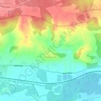
Name: Midgham topographic map, elevation, terrain.

Location: Midgham, West Berkshire, Berkshire, England, United Kingdom (51.39228 -1.22322 51.41144 -1.17960)

Average elevation: 295 ft

Minimum elevation: 180 ft

Maximum elevation: 453 ft

Gear up for your next adventure:

🌡️Portable Weather Meter - Track weather conditions on the trail
🖼️Topo Map Wall Art - Decorative topographic prints of famous peaks and regions
🛰️Handheld GPS Units - Professional satellite navigators for precise backcountry mapping
🧣Merino Neck Gaiters - Multi-functional headwear for wind and sun protection
🌄Hiking Binoculars - Compact binoculars for scenic views and trail spotting

As an Amazon Associate, this site earns from qualifying purchases at no extra cost to you.