Geolocate

Kedgwick topographic map

Click on the map to display elevation.

About this map

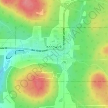
Name: Kedgwick topographic map, elevation, terrain.

Location: Kedgwick, Restigouche County, New Brunswick, E8B 1H2, Canada (47.63770 -67.36131 47.65133 -67.32489)

Average elevation: 955 ft

Minimum elevation: 827 ft

Maximum elevation: 1,112 ft

Gear up for your next adventure:

🔌USB Car Charger - Car charger for on‑the‑go power needs
📶Satellite Messenger - Communication device off‑grid
🩳Quick‑Dry Hiking Shorts - Comfortable and quick‑dry shorts for summer hiking
🏕️Family Camping Gear - Essentials for group camping trips
🔦LED Headlamp - Bright and durable LED headlamp for night navigation

As an Amazon Associate, this site earns from qualifying purchases at no extra cost to you.