
Cachora topographic map
Click on the map to display elevation.
Cachora
Cachora es una localidad peruana ubicada en la región Apurímac, provincia de Abancay, distrito de San Pedro de Cachora, Perú. Se encuentra a una altitud de 2902 m s. n. m. Tenía una población de 703 habitantes en 1993.
About this map
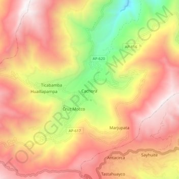
Name: Cachora topographic map, elevation, terrain.
Location: Cachora, San Pedro de Cachora, Abancay, Apurímac, Perú (-13.53277 -72.83304 -13.49277 -72.79304)
Average elevation: 10,390 ft
Minimum elevation: 8,645 ft
Maximum elevation: 12,959 ft