Geolocate

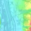
Plaisians topographic map

Click on the map to display elevation.

About this map

Name: Plaisians topographic map, elevation, terrain.

Location: Plaisians, Nyons, Drôme, Auvergne-Rhône-Alpes, Metropolitan France, 26170, France (44.20352 5.28065 44.25369 5.39938)

Average elevation: 2,411 ft

Minimum elevation: 1,106 ft

Maximum elevation: 4,606 ft

Other topographic maps

Click on a map to view its topography, its elevation and its terrain.
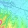
Chanos

France > Auvergne-Rhône-Alpes > Drôme

Average elevation: 574 ft

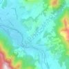
Saint-Bardoux

France > Auvergne-Rhône-Alpes > Drôme > Grane

Average elevation: 594 ft

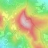
Les Fondeaux

France > Auvergne-Rhône-Alpes > Drôme > Die

Average elevation: 1,693 ft

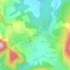
Malo

France > Auvergne-Rhône-Alpes > Drôme > Peyrus

Average elevation: 1,778 ft

Les Arphons

France > Auvergne-Rhône-Alpes > Drôme > Vesc

Average elevation: 2,195 ft

Limone

France > Auvergne-Rhône-Alpes > Drôme > Crépol

Average elevation: 1,138 ft

Gallat

France > Auvergne-Rhône-Alpes > Drôme > La Baume-d'Hostun

Average elevation: 761 ft

Gear up for your next adventure:

📷Action Camera - Capture your outdoor adventures in HD
🌲Outdoor Survival Books - Best books on survival skills
🛡️Bear Spray Outdoor - Protection in bear country hikes
🌐World Map Poster - Decorative world maps with topographic info
🛰️Handheld GPS Units - Professional satellite navigators for precise backcountry mapping

As an Amazon Associate, this site earns from qualifying purchases at no extra cost to you.