
Thank you for supporting this site ❤️
Make a donation
Make a donation
Gear up for your next adventure:
As an Amazon Associate, this site earns from qualifying purchases at no extra cost to you.
Castejón topographic map
Click on the map to display elevation.
Thank you for supporting this site ❤️
Make a donation
Make a donation
Gear up for your next adventure:
As an Amazon Associate, this site earns from qualifying purchases at no extra cost to you.
About this map
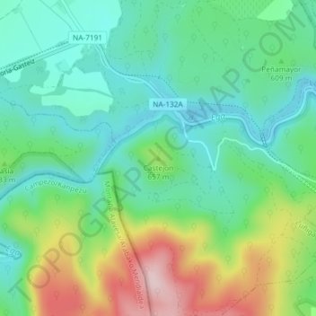
Name: Castejón topographic map, elevation, terrain.
Location: Castejón, Zúñiga, Tierra Estella, Navarra, 31282, España (42.67845 -2.28835 42.67855 -2.28825)
Average elevation: 2,008 ft
Minimum elevation: 1,706 ft
Maximum elevation: 2,671 ft
Thank you for supporting this site ❤️
Make a donation
Make a donation
Gear up for your next adventure:
As an Amazon Associate, this site earns from qualifying purchases at no extra cost to you.