Geolocate

North Bend topographic map

Click on the map to display elevation.

About this map

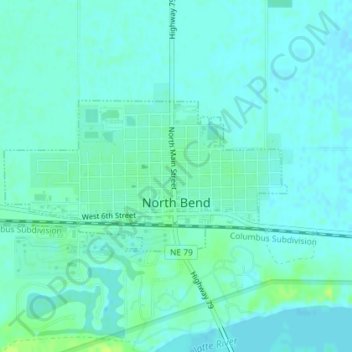
Name: North Bend topographic map, elevation, terrain.

Location: North Bend, Dodge County, Nebraska, United States (41.45893 -96.79765 41.47053 -96.76867)

Average elevation: 1,273 ft

Minimum elevation: 1,260 ft

Maximum elevation: 1,306 ft

Dodge County trails, hiking, mountain biking, running and outdoor activities

Gear up for your next adventure:

🎒Trekking Poles - Sturdy poles for balance and stability on rough terrain
🪓Survival Multi‑Tool - Versatile tool for camp and trail tasks
📚USA Hiking Guide Books - Top trail guides and map books
🗺️NatGeo Topo Maps - High-quality waterproof printed topographic maps of US Parks
🪶Fire Starter Kit - Reliable fire starter for survival and camping

As an Amazon Associate, this site earns from qualifying purchases at no extra cost to you.