
Thank you for supporting this site ❤️
Make a donation
Make a donation
Gear up for your next adventure:
As an Amazon Associate, this site earns from qualifying purchases at no extra cost to you.
Atyrau topographic map
Click on the map to display elevation.
Thank you for supporting this site ❤️
Make a donation
Make a donation
Gear up for your next adventure:
As an Amazon Associate, this site earns from qualifying purchases at no extra cost to you.
About this map
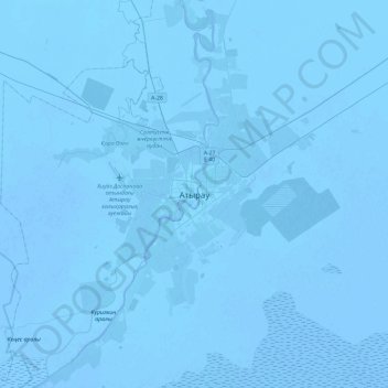
Name: Atyrau topographic map, elevation, terrain.
Location: Atyrau, Атырау қ.ә., Atyrau Region, 060000, Kazakhstan (46.94672 51.75390 47.26672 52.07390)
Average elevation: -72 ft
Minimum elevation: -82 ft
Maximum elevation: -49 ft
Thank you for supporting this site ❤️
Make a donation
Make a donation
Gear up for your next adventure:
As an Amazon Associate, this site earns from qualifying purchases at no extra cost to you.