Geolocate

Cebulan topographic map

Click on the map to display elevation.

About this map

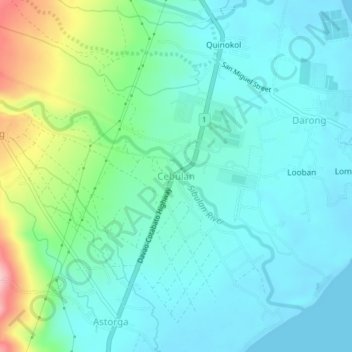
Name: Cebulan topographic map, elevation, terrain.

Location: Cebulan, Santa Cruz, Davao del Sur, Davao Region, Philippines (6.90772 125.44773 6.94772 125.48773)

Average elevation: 138 ft

Minimum elevation: -3 ft

Maximum elevation: 607 ft

Gear up for your next adventure:

👟Men's Trail Runners - Lightweight footwear for fast-paced exploration and light hiking
☀️Outdoor Sunscreen - High protection sunscreen for outdoor activities
🎒Day Hiking Backpack - Lightweight backpack perfect for day trips and outdoor adventures
🔦Powerful Headlamps - Ultra-bright hands-free lighting for night navigation
🪶Trail Camera - Capture wildlife on your hikes

As an Amazon Associate, this site earns from qualifying purchases at no extra cost to you.