
Konstein topographic map
Click on the map to display elevation.
About this map
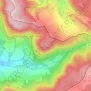
Name: Konstein topographic map, elevation, terrain.
Location: Konstein, Wanfried, Werra-Meißner-Kreis, Hesse, Germany (51.18444 10.21199 51.18454 10.21209)
Average elevation: 1,201 ft
Minimum elevation: 682 ft
Maximum elevation: 1,585 ft
Other topographic maps
Click on a map to view its topography, its elevation and its terrain.