
Thank you for supporting this site ❤️
Make a donation
Make a donation
Gear up for your next adventure:
As an Amazon Associate, this site earns from qualifying purchases at no extra cost to you.
Buonanotte topographic map
Click on the map to display elevation.
Thank you for supporting this site ❤️
Make a donation
Make a donation
Gear up for your next adventure:
As an Amazon Associate, this site earns from qualifying purchases at no extra cost to you.
About this map
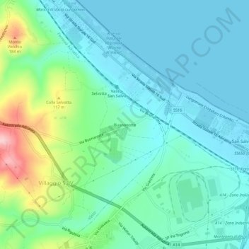
Name: Buonanotte topographic map, elevation, terrain.
Location: Buonanotte, Vasto, Chieti, Abruzzo, 66054, Italy (42.05371 14.72149 42.09371 14.76149)
Average elevation: 141 ft
Minimum elevation: -3 ft
Maximum elevation: 627 ft
Thank you for supporting this site ❤️
Make a donation
Make a donation
Gear up for your next adventure:
As an Amazon Associate, this site earns from qualifying purchases at no extra cost to you.